
New Zealand packs into two islands a collection of landscapes that few destinations on earth can match: active volcanoes, geysers, retreating glaciers, ancient fjords and cities built around the sea. These 10 essential destinations, spread across the North and South Islands, form the backbone of any great New Zealand journey.
North Island highlights
Northland and Cape Reinga
Northland is the most northerly region of the North Island. A wild, sparsely populated peninsula, it alternates between dense forest and near-deserted beaches, far removed from the bustle of the big cities.
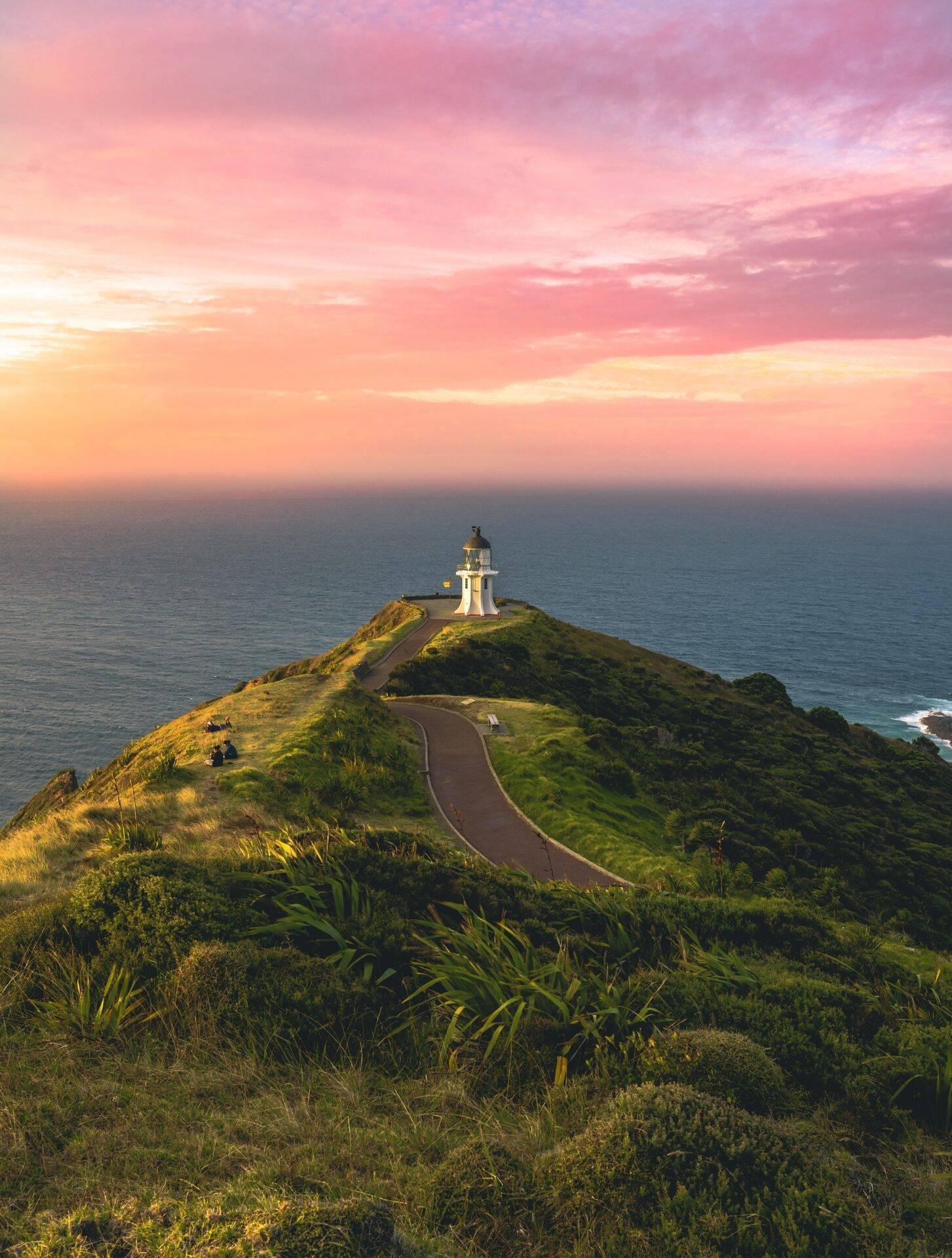
Cape Reinga marks the northernmost point of the country accessible to the public. This is where the Pacific Ocean and the Tasman Sea meet, producing dramatic wave action when the currents are strong. The headland holds deep significance for the Maori: “Reinga” means “the Underworld” in their language, and according to their cosmology, the souls of the departed begin their journey to the afterlife from this very spot.
The famous 90 Mile Beach has one end at Cape Reinga. Its name stretches the truth a little: it actually measures around 88 kilometres (54 miles). Officially classified as a road, it is suitable only for four-wheel-drive vehicles and is impassable at high tide. Check conditions carefully before taking a vehicle onto it.
Auckland
Auckland is New Zealand’s largest city. Nicknamed the City of Sails for the countless yachts that dot the Hauraki Gulf, it is built on a narrow isthmus between two bodies of water, with beaches reachable in under thirty minutes from the centre.
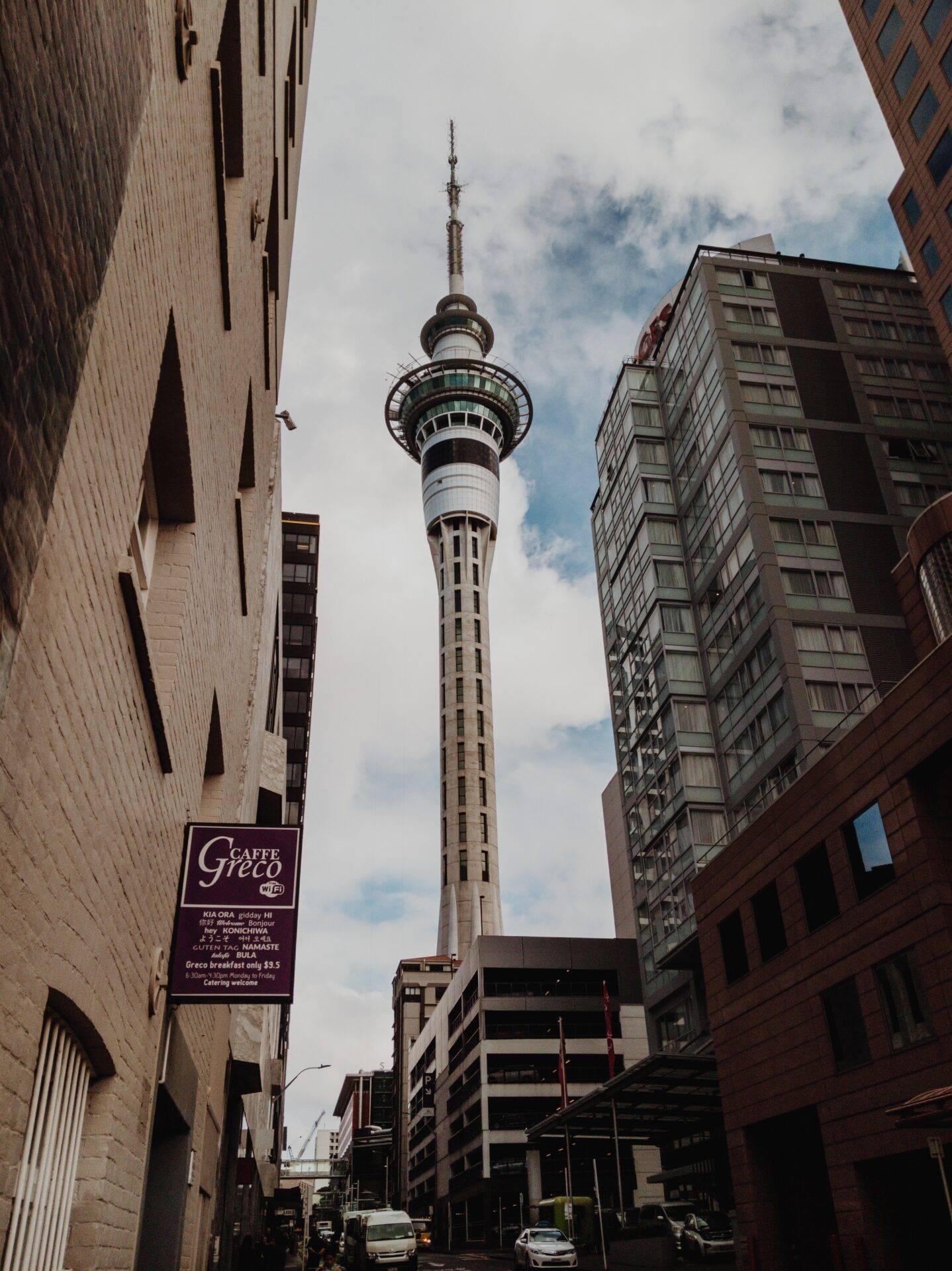
A short ferry ride is all it takes to reach the gulf islands and find yourself in open countryside within minutes. Back on shore, the city is modern and spacious, with generous parks and wide streets that invite leisurely exploration. The Sky Tower, an instantly recognisable telecommunications tower, dominates the skyline and offers a 360-degree panorama over the city and the gulf.
Rotorua and Wai-O-Tapu
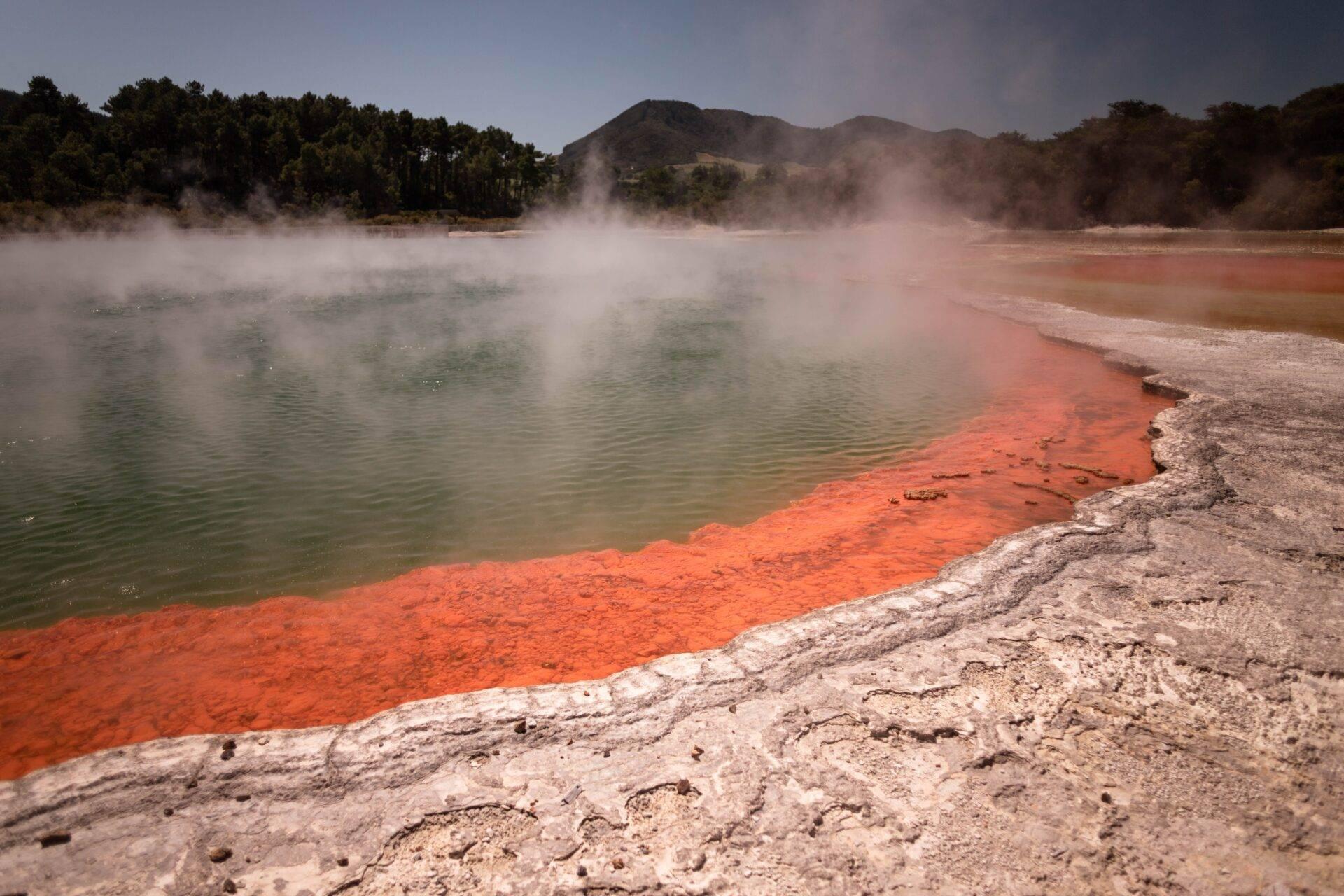
Rotorua sits atop a highly active geothermal zone, making it one of the most singular stops on any New Zealand itinerary. The Wai-O-Tapu geothermal park is its most spectacular showcase: bubbling mud pools, sulphur-coloured basins in vivid turquoise, green and orange, geysers, and sulphuric acid lakes combine to create a landscape that looks like something from another planet. The Champagne Pool, fed by hot water rich in CO2, is ringed by a bright orange mineral deposit and is one of the country’s most iconic images.
Maori culture is very much alive in Rotorua. Several villages welcome visitors for traditional evenings featuring dance (including haka), feasts cooked underground in geothermal steam (hāngī) and accounts of Maori history. Natural hot springs are an integral part of daily life in local communities.
Tongariro National Park
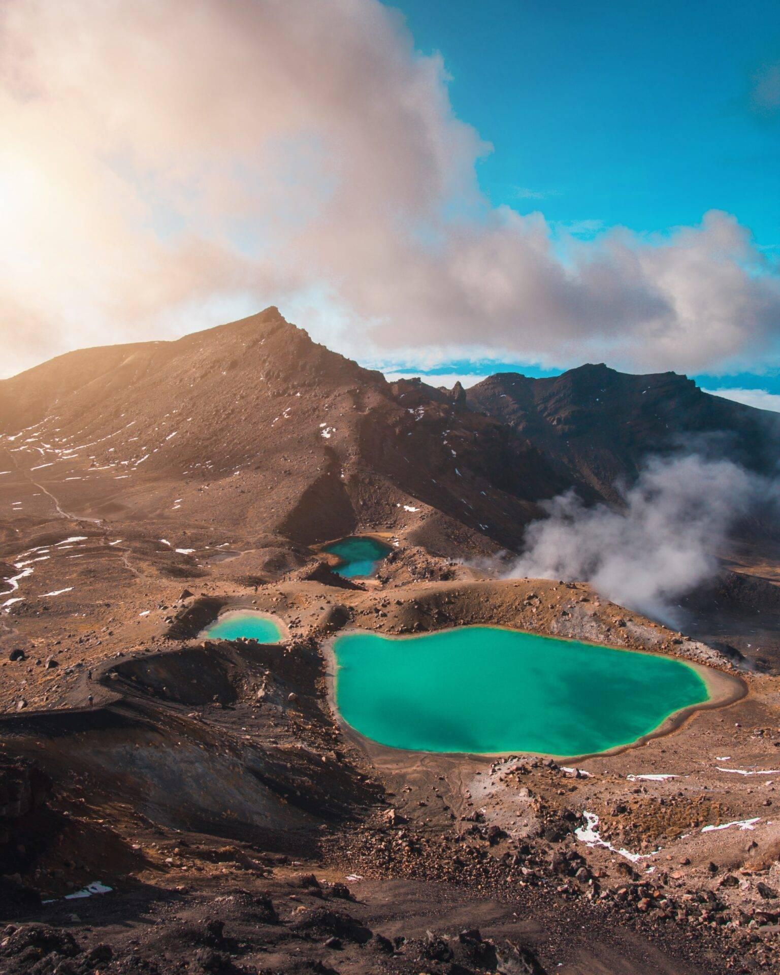
A UNESCO World Heritage Site since 1993, Tongariro National Park is one of the oldest national parks in the world. The Tongariro Alpine Crossing, a 19.4-kilometre route through high-altitude volcanic terrain, is consistently ranked among the finest one-day hikes on the planet.
The park’s three volcanoes, Ruapehu, Tongariro and Ngauruhoe, are sacred sites for the Maori. Ngauruhoe served as the backdrop for Mount Doom in Peter Jackson’s The Lord of the Rings trilogy. The trail passes emerald crater lakes before descending into dense forest, with the scenery shifting dramatically at every turn.
The Tongariro Northern Circuit, a multi-day route, is the option for experienced walkers who want to explore deeper into the park.
Wellington
New Zealand’s capital, Wellington sits at the southern tip of the North Island. It is the natural departure point for the ferry crossing to the South Island via the port of Picton.
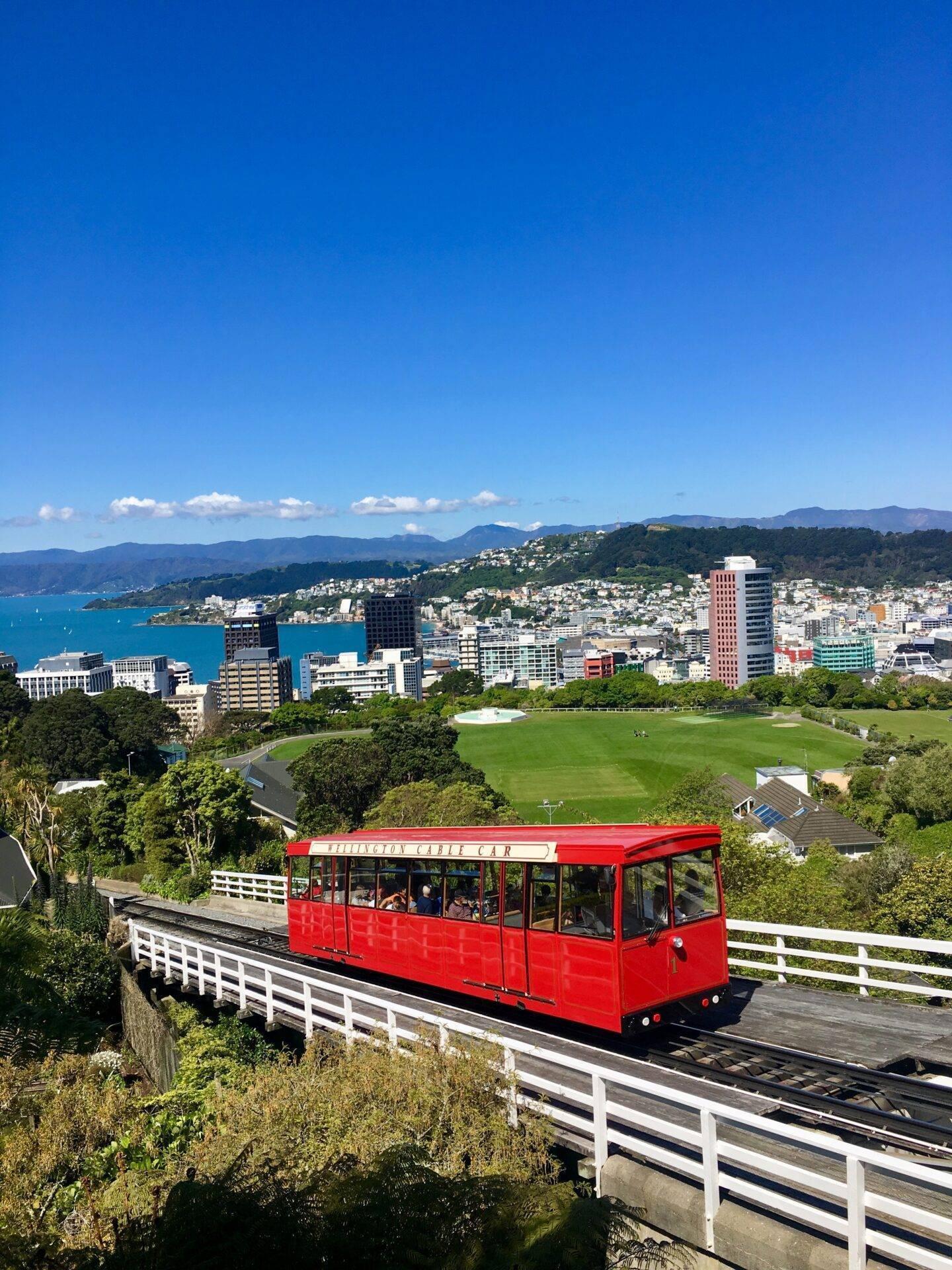
The city is compact, lively and sea-facing. Oriental Bay, Te Papa Tongarewa (the national museum), the cafes of Cuba Street and the small waterfront beaches make for a city centre that is a pleasure to explore on foot. The Cable Car, the city’s beloved funicular, climbs to the botanical gardens with fine views over the bay and the surrounding hills along the way.
South Island highlights
Abel Tasman National Park
New Zealand’s smallest national park, Abel Tasman occupies the northern tip of the South Island. Its reputation rests on the quality of its coastal scenery: golden sandy beaches, crystal-clear water, rolling green hills and dense forest that tumbles directly into the sea.
The park is best explored on foot along the Coast Track, one of the country’s official Great Walks, which takes several days to complete in full. By sea kayak, you can follow the coastline at your own pace and regularly encounter fur seals, dolphins and penguins. Golden Bay, a short distance to the north-west, rounds out the picture with its calm waters and open landscapes.
For a deeper look at experiences across the country, our guide Things to do in New Zealand: 20 absolute must-sees covers the essential activities to combine with these destinations.
Mount Cook and its National Park
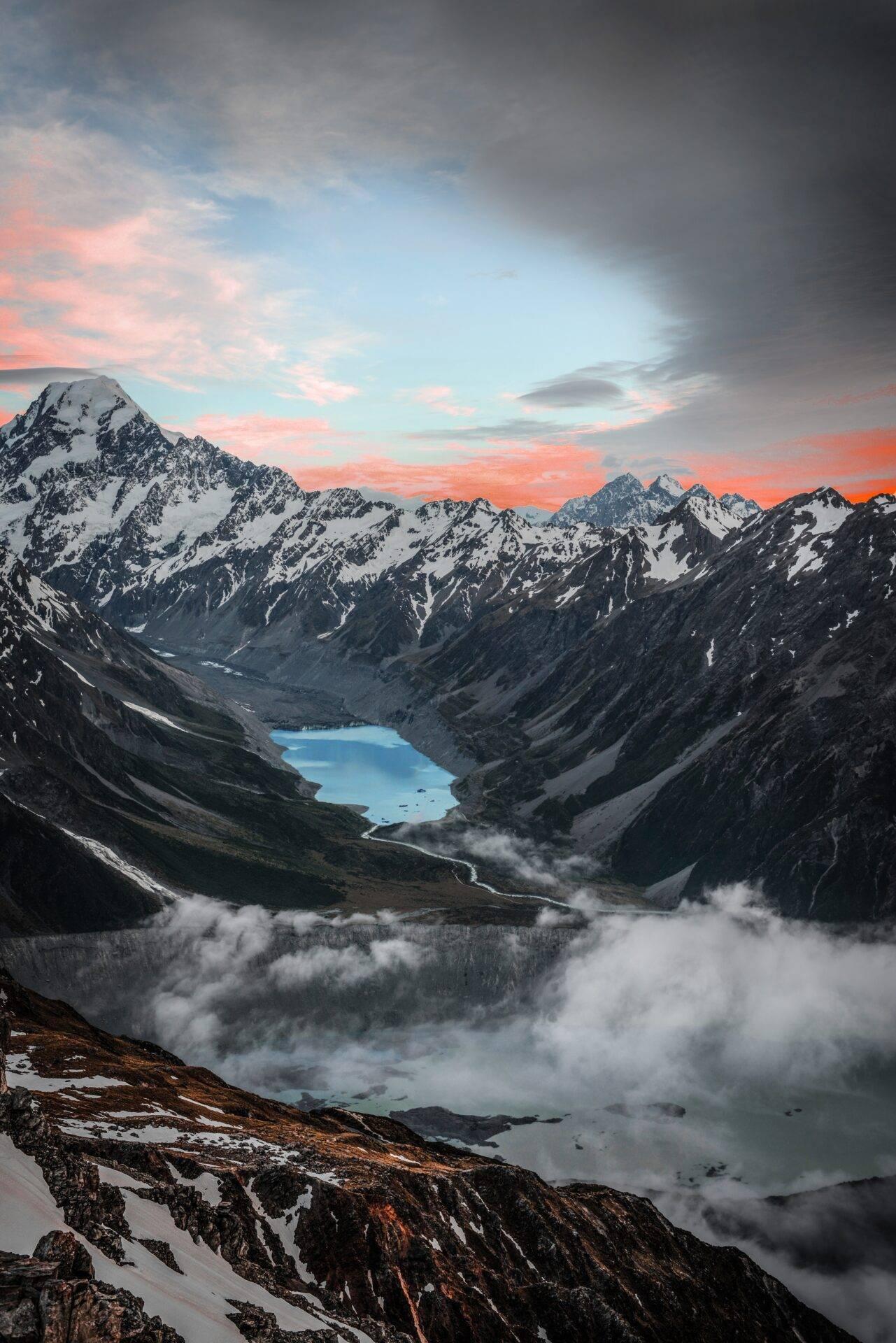
Aoraki/Mount Cook peaks at 3,724 metres and is New Zealand’s highest mountain. The national park surrounding it forms part of Te Wāhipounamu, a UNESCO World Heritage Site that brings together several parks in the south-west of the South Island.
The park’s walking routes offer direct views of glaciers and the faces of the Southern Alps. The Tasman Glacier, the country’s largest, stretches out at the foot of the peaks. Along the way, Lake Tekapo and Lake Pukaki, whose distinctive blue-turquoise waters owe their colour to glacial flour suspended within them, make for two of the country’s most photographed stops.
Scenic flights by plane or helicopter, ski touring with a guide: high-mountain activities in the park carry specific risks. Travel insurance covering mountain rescue is essential before you set out. The New Zealand travel insurance page outlines the cover suited to this kind of expedition.
Franz Josef and Fox Glaciers
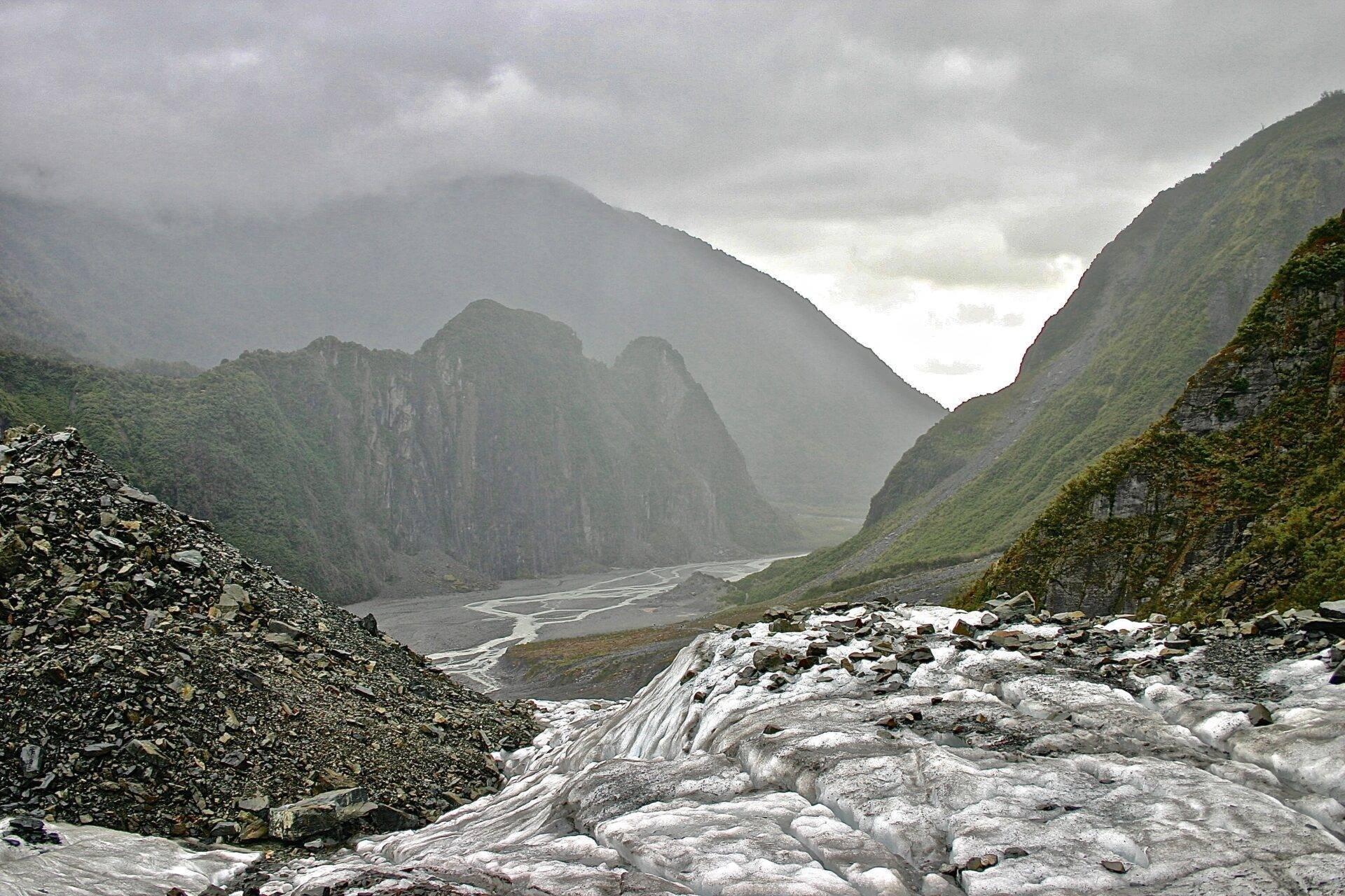
These two glaciers, located on the west coast of the South Island less than 20 kilometres apart, represent a rare phenomenon: mountain glaciers that descend to near sea level, in an environment where coastal rainforest meets ice.
Over recent years, both glaciers have been retreating at an accelerating pace due to climate change. The walking trails that once led to the glacier faces have been closed or heavily restricted following repeated rockfalls: the Franz Josef Valley Walk now ends around 3 kilometres from the glacier following the 2021 incidents. To reach the surface of either glacier, helicopter is now the only option, typically with a snow landing included. At altitude, the ice is so dense and thick that it takes on a striking blue hue.
Fox Glacier takes its name from Prime Minister William Fox, who visited it in 1872. Franz Josef was named by a German explorer in 1865, who dedicated it to an Austrian emperor.
Milford Sound and Fiordland National Park
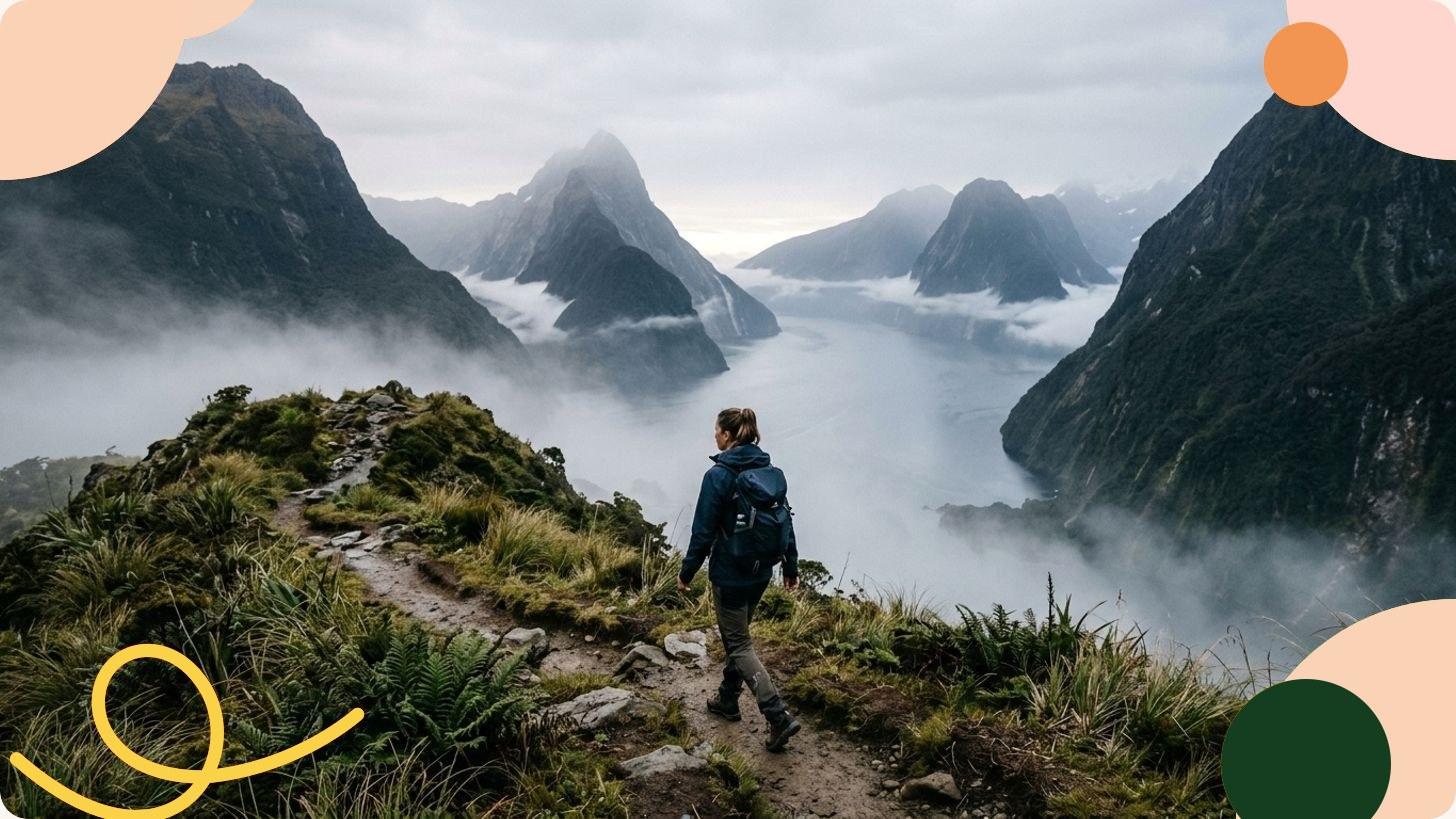
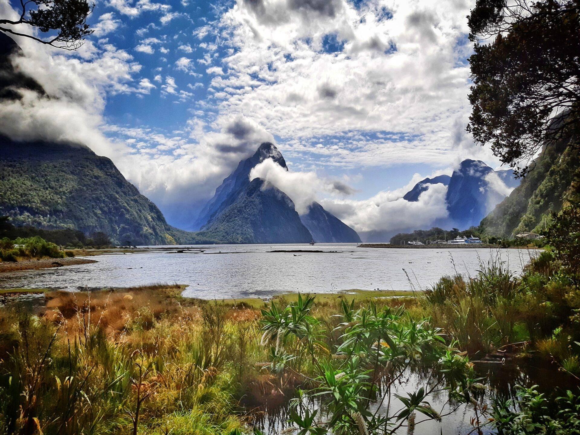
Piopiotahi/Milford Sound is the only fjord in Fiordland accessible by road. Tucked into the south-western corner of the South Island, it stretches 16 kilometres from the foot of Mitre Peak to the Tasman Sea. Mitre Peak rises 1,700 metres straight out of the water, with no transition between the fjord’s surface and the sheer vertical wall above.
Fiordland National Park is part of the same UNESCO site as Mount Cook. Rainfall is heavy on this coast (several metres per year), feeding hundreds of temporary waterfalls that burst from the cliff faces after every shower. By boat or kayak, you travel alongside these vertical walls and encounter Fiordland penguins (one of the world’s rarest species), dolphins and fur seals.
The Maori named this fjord Piopiotahi after the piopio, a native bird with roots in their mythology.
Queenstown
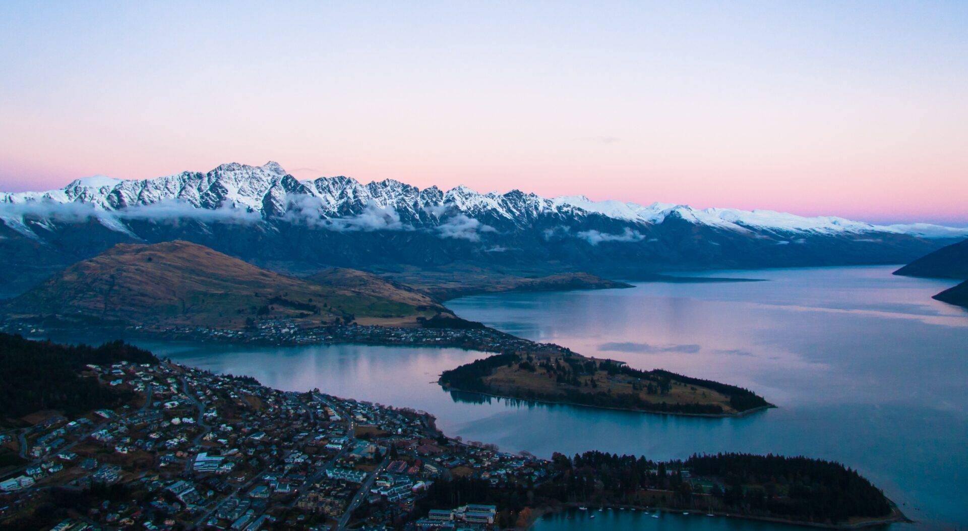
On the shores of Lake Wakatipu with the Remarkables as its backdrop, Queenstown is New Zealand’s adventure capital. Bungee jumping, jet-boating through gorges, skiing in winter, hiking in summer, paragliding: the town has built its identity around outdoor pursuits and shows no sign of changing.
Lake Wakatipu, 80 kilometres long and S-shaped, gives the town its extraordinary setting. The view across the water to the snow-dusted peaks, from the gondola that climbs to the Skyline complex, is among the finest in the country. The countryside around Queenstown also served as the backdrop for several scenes in Peter Jackson’s The Lord of the Rings trilogy.
If the wide open spaces of the southern hemisphere appeal beyond Oceania, our article Things to do in Chile: top 20 absolute must-sees offers another journey through comparable scenery at the other end of the world.
FAQ
Which UNESCO World Heritage Sites are there in New Zealand?
New Zealand has two major inscribed natural sites: Tongariro National Park (since 1993, as a mixed cultural landscape) and Te Wāhipounamu, which brings together several national parks in the south-west of the South Island, including Fiordland and Aoraki/Mount Cook.
What is the best time to visit New Zealand?
The southern summer (December to February) offers the best sunshine and the most favourable conditions for high-altitude hikes such as the Tongariro Alpine Crossing. The southern spring and autumn (September to November, March to April) bring fewer crowds and pleasant temperatures across the country.
How do you access Franz Josef and Fox Glaciers?
Following glacial retreat and rockfalls in recent years, the walking trails that led to the glacier faces have been closed or heavily restricted. Helicopter is now the only way to reach the surface of either glacier, typically with a snow landing.
Is the Tongariro Alpine Crossing suitable for beginners?
The Tongariro Alpine Crossing (19.4 km) is a demanding hike across exposed volcanic terrain and is not recommended in poor weather conditions. A good level of fitness and appropriate gear (hiking boots, waterproofs) are essential. Walkers without mountain experience are well advised to go with a local guide.
Do I need a visa to enter New Zealand?
Entry requirements vary depending on your nationality. For up-to-date information on visas, currency, vaccinations and entry formalities, visit the New Zealand travel insurance page.
Is Queenstown worth visiting in New Zealand?
Absolutely, especially for travellers drawn to outdoor activities and alpine scenery. Its position on Lake Wakatipu, with the Remarkables on the doorstep and Fiordland within easy reach, makes it one of the most versatile bases in the southern South Island.