
Quebec stretches far beyond its postcard highlights. Away from the main routes, it conceals islands reachable only by canoe, alpine tundra summits, a lighthouse listed as a national historic site, and the ruins of a Trappist abbey at the foot of a waterfall. These seven places call for a bit of driving and forward planning, but each delivers something the standard tourist trail simply cannot: the feeling of being truly present in something rare.
If you are planning a broader trip to Canada, take a look at our guide to the top things to do and see in Canada.
Poisson Blanc Regional Park: Sleep on Your Own Private Island in the Laurentians
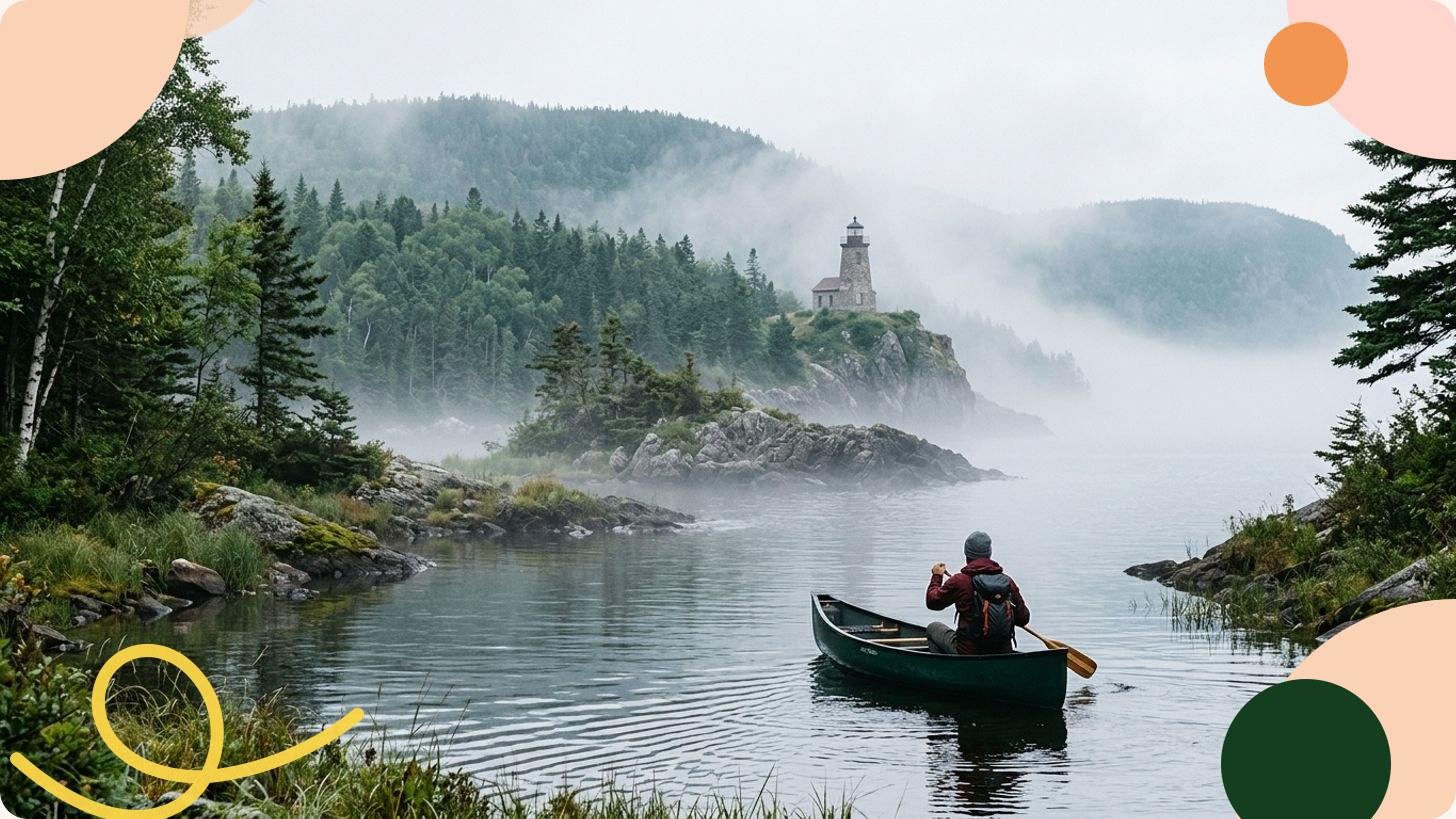
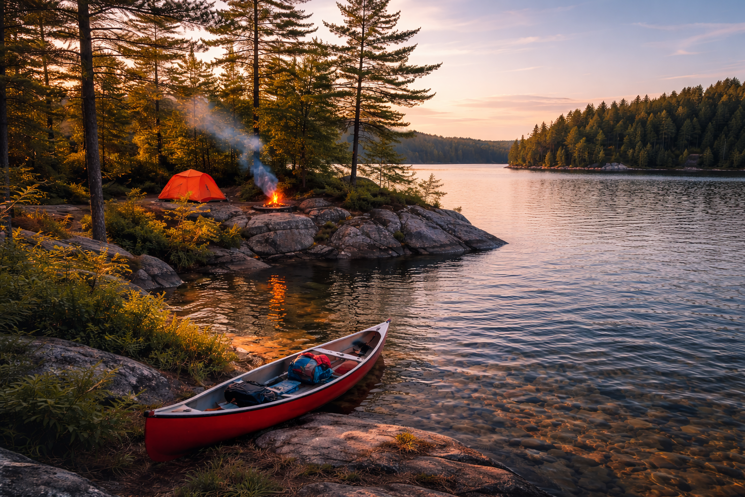
About 90 minutes north of Montreal, Poisson Blanc Regional Park sits on a vast reservoir scattered with roughly a hundred islands. More than sixty rustic canoe-camping pitches are spread across islands and peninsulas: no electricity, no running water, no phone signal. Firewood is delivered by patrol boat on the first evening, and every pitch is entirely private.
The experience is wonderfully straightforward: rent a canoe on site, choose your island from the map, paddle across, and settle in. You can scout a few options before committing. Silence descends almost immediately once you leave the landing stage.
If Montreal is your starting point, check out what to do in Montreal before heading into the Laurentians.
The Groulx Mountains (Côte-Nord): Alpine Tundra and Caribou at 1,100 Metres
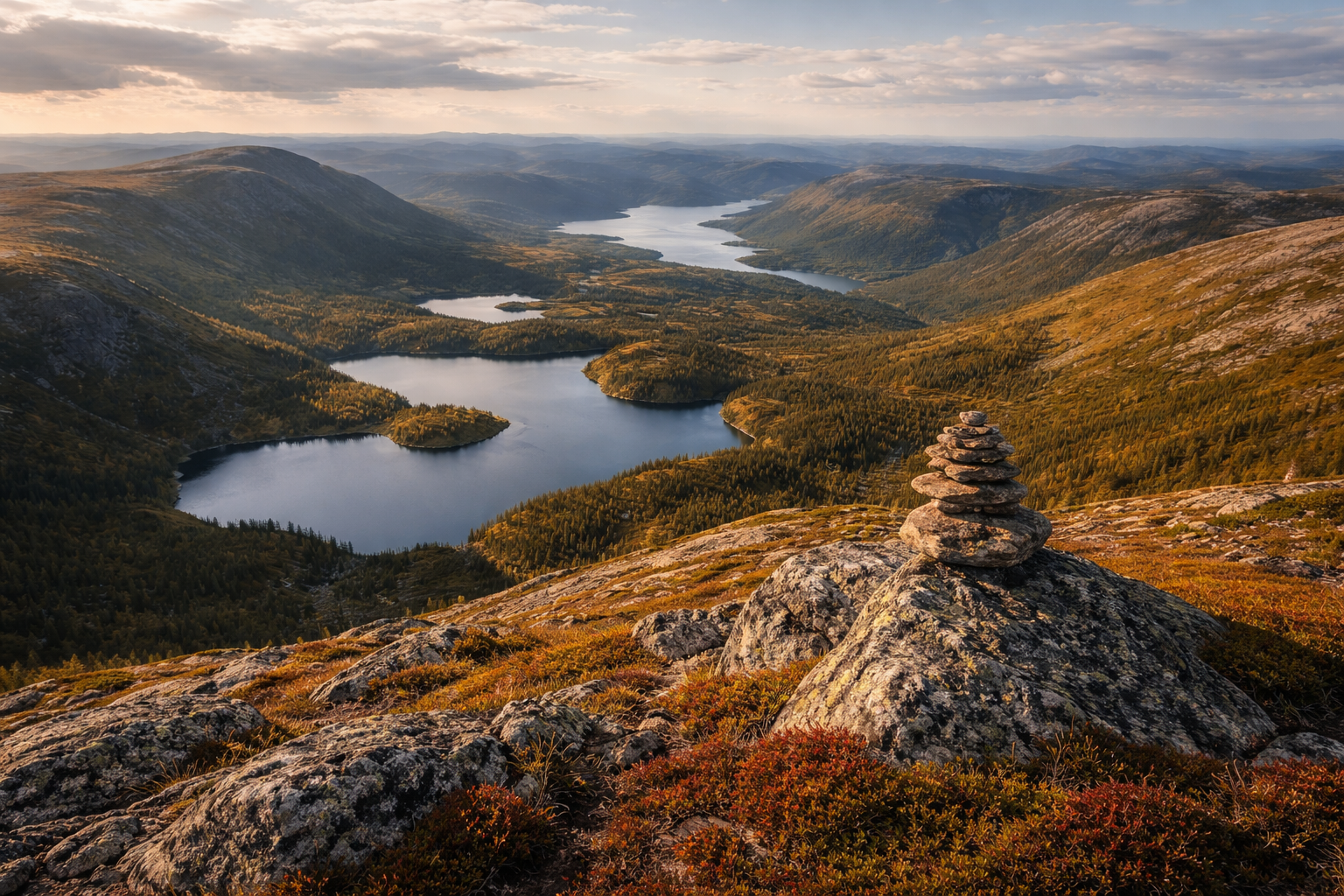
The Groulx Mountains, also known as Uapishka, count 42 peaks above 1,000 metres, with Mont Veyrier, the highest point in the range, reaching 1,104 metres. Above 800 metres, the boreal forest gives way to a rare alpine tundra ecosystem at this latitude: caribou and ptarmigan roam freely here in near-total silence.
The north-to-south traverse covers roughly 45 to 50 kilometres and takes between three and five days of fully self-sufficient hiking, with no phone signal and no infrastructure along the route. It is one of the few itineraries in southern Quebec where you genuinely feel the immensity of the territory around you.
Île Verte (Lower St. Lawrence): The Oldest Lighthouse on the St. Lawrence
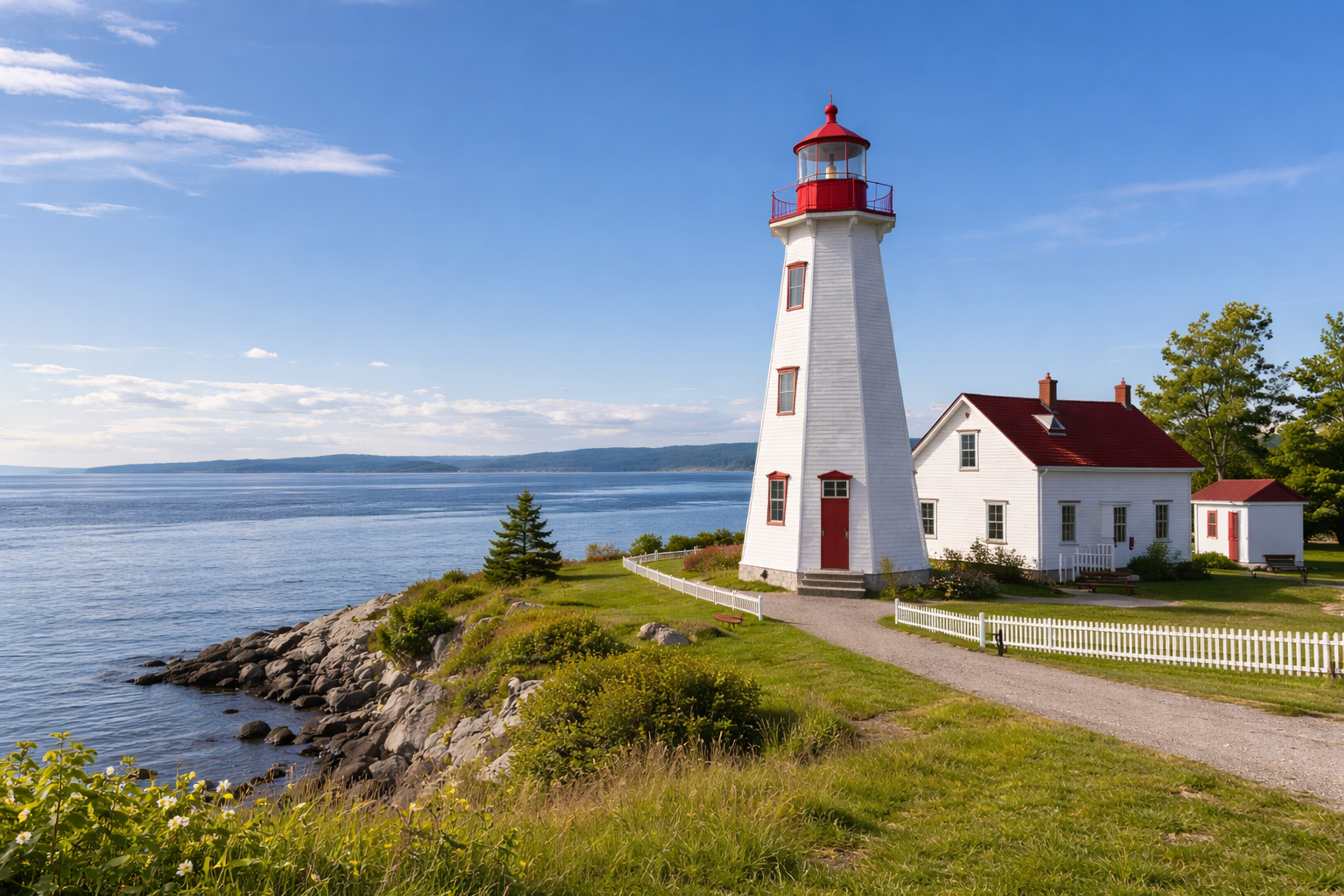
Sitting two kilometres off the south shore of the river, Île Verte is accessible by ferry from May to November from the village of L’Isle-Verte. Its lighthouse, built between 1806 and 1809, is the oldest on the St. Lawrence. Standing 17 metres tall, it has been a National Historic Site of Canada since 1974 and now houses a small museum tracing the history of the keeper families who lived here without interruption until 1972.
The island is inhabited year-round, with its timber houses, dirt tracks and permanent residents. People come here to slow down, to take in the light playing on the river, and for that sensation of being at the edge of the world just two hours’ drive from Quebec City.
Aiguebelle National Park (Abitibi): 2.7 Billion Years Underfoot
Located in Abitibi-Témiscamingue, Aiguebelle National Park rests on geological formations more than 2.7 billion years old. Its signature feature is a suspension bridge hanging 22 metres above Lac La Haie, a narrow lake whose elongated shape reflects the north-south geological fault that cuts through the entire territory.
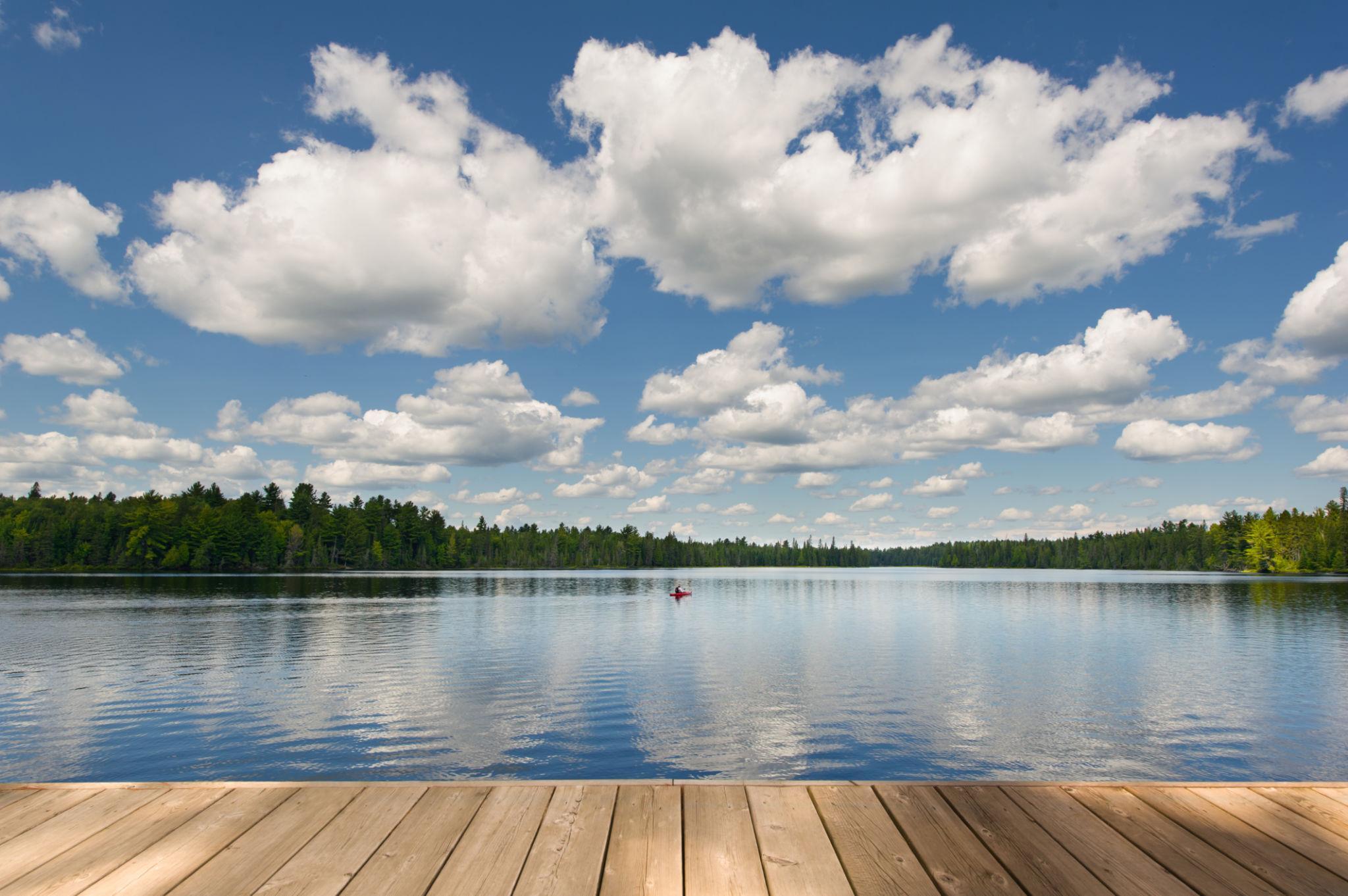
The trails alternate between dense boreal forest, mirror-calm lakes on still days, and viewpoints over ancient rocky escarpments. Managed by Sépaq and barely known outside the region, this park is well worth the detour from Rouyn-Noranda.
Malbaie Barachois (Gaspésie): The Lagoon of 200 Bird Species
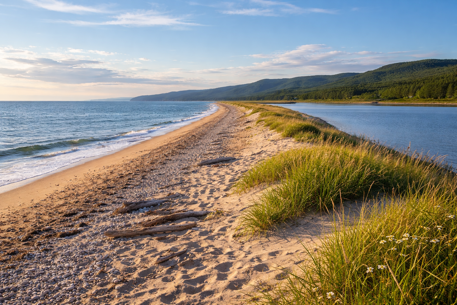
Between Gaspé and Percé, a 5.8-kilometre sandbar separates the Gulf of St. Lawrence from an almost perfectly still brackish lagoon. This is the Malbaie barachois, recognised as an internationally Important Bird Area with over 200 species recorded across the seasons, several of them at risk.
You can walk for hours along this sandbank, nearly alone, with the gulf breeze on one side and the quiet of the lagoon on the other. The light shifts fast towards the end of the day. There is nothing quite like it anywhere else in Gaspésie.
Grandes-Rivières Regional Park (Lac-Saint-Jean): A 30-Metre Waterfall and Trappist Ruins
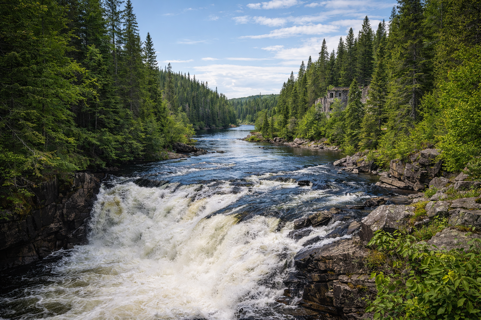
In the Pointe-des-Pères sector, five kilometres of trails wind past the ruins of a Trappist abbey founded in 1892 by the Fathers of Notre-Dame-de-Mistassini. The 30-metre Chute Blanche waterfall on the Mistassini River thunders down right beside them. This meeting of rushing water and crumbling stone gives the place an atmosphere unlike anywhere else in Quebec.
The park covers nearly 100 km², drained by four great boreal rivers: Péribonka, Mistassini, Mistassibi and Ashuapmushuan. A territory that remains very much off the radar in the Saguenay-Lac-Saint-Jean region.
The Pontiac (Outaouais): The Ottawa River in Its Rawest State
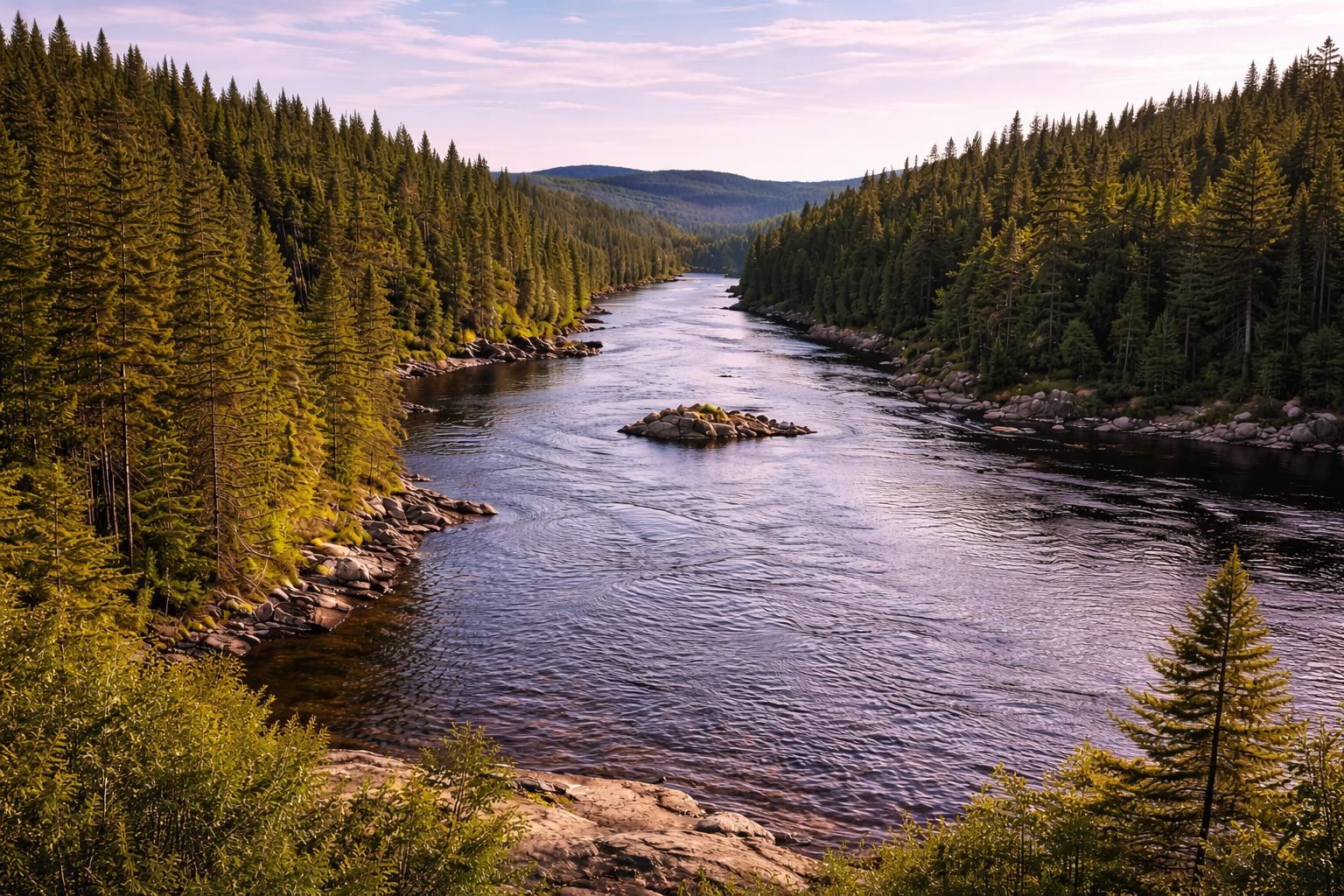
An hour west of Gatineau, the Pontiac is a regional county municipality wedged between the Ottawa River and the Canadian Shield. Sparsely populated and barely touched by tourist infrastructure, the area feels like a Quebec that time has left intact. The Ottawa River here offers rapids popular with rafters and hundreds of kilometres of wild canoe routes.
On the ground, the Marchand covered bridge, built in 1898, is the longest covered bridge in Quebec. The villages are small, the legacy of the log-driving era still marks the landscape, and the whole place feels far more like the Far North than the Outaouais of tourist brochures.
For more ideas beyond the ordinary, explore our unusual destination picks for a May trip.
FAQ
When is the best time to visit these hidden gems in Quebec?
Mid-June to mid-September suits the vast majority of these destinations. The Groulx Mountains are best tackled in July or August, when the tundra is clear and the caribou are active. Île Verte is accessible by ferry from May to November. Gaspésie and Abitibi also offer excellent conditions in September, with noticeably fewer visitors than the height of summer.
Do you need canoeing experience to camp on the Poisson Blanc islands?
Not at all. The reservoir is calm, crossings between sites are short, and canoes are available to hire on site. A basic grasp of paddling is enough to reach a pitch and get settled. The key is to book well in advance: island sites are snapped up quickly during peak season.
How do you get to the Groulx Mountains from Montreal or Quebec City?
The Groulx Mountains lie on the Côte-Nord, roughly six hours’ drive from Quebec City. The traverse demands full self-sufficiency: bivouac gear, several days’ worth of food, and a detailed map of the range. There is virtually no phone signal anywhere across the territory.
Is Île Verte accessible year-round?
The island has permanent residents and is inhabited throughout the year, but the ferry only runs from May to November. In winter, when the St. Lawrence freezes sufficiently, it is sometimes possible to cross on foot under the right conditions. Outside these windows, the island remains difficult for visitors to reach.
Do you need a car to reach these remote Quebec destinations?
Yes, for the great majority of them. The Groulx Mountains, Abitibi, Lac-Saint-Jean and the Pontiac are not served by public transport. Gaspésie has a coach link from Quebec City, but a car remains essential to reach the natural sites themselves.